One of the great things about Taipei is that it is surrounded by mountains. There are dozens of day hikes nearby just a quick ride on the MRT (Mass Rapid Transit). This past drizzly and foggy Saturday Corbin, Carole, and I decided to take advantage of our first free weekend by taking a hike up one of Taipei’s most popular peaks – Elephant Mountain 象山.
Elephant Mountain is a fairly short hike – we were told only about 30-45 minutes from base to peak – but is almost entirely composed of steep staircases like these:


Despite the stairs, we made it up in under 25 minutes – pretty impressive if I might say so myself. The view from the top was great and we stopped to jump on the famous boulder and take the typical “I conquered this mountain” picture.


But, when we got to “the top” we realized that it really wasn’t the top of the mountain. It was just a famous spot that has a great view of the city. A nearby map showed a much more complex system of trails that lead to various other peaks. Among them was Mu Zhi Shan 拇指山. We estimated how long it would take to get to Mu Zhi Shan and figured it would be about another 45 minutes to the top and an hour to get back down. Given that it was still early, we decided to give it a shot.
The trail continued to be staircase after staircase after staircase, but lead into some really beautiful parts of the mountains. At one point we actually stumbled on a local folk religion temple where a couple of people were chanting before their dinner.


As we trekked along, there were several off shoots of the main path that led to scenic overlooks. We took a few of these paths but always returned to our main path to Mu Zhi Shan – except for one.
Still feeling adventurous, we followed a path up a steep winding staircase, but this one didn’t seem to lead to an overlook (at this point, I don’t know why we didn’t turn around). We kept going until about 10 minutes later we reached a little rest area with a table and a hand drawn map on a white board (wish I had taken a picture of the map to show how ridiculous it was). The map showed Mu Zhi Shan to the right, so we logically took the path to the right, but it still didn’t feel right – or correct. Fortunately, a few minutes later we came across three Taiwanese hikers (2 women and a man all maybe in their 60s) who started pointing and shouting at Corbin and Carole’s running shoes saying something about how they shouldn’t be wearing those because they’ll slip and fall. Meanwhile, I asked the man where Mu Zhi Shan was and they all three started laughing and saying, “Mu Zhi Shan? Mu Zhi Shan is not this way!” (In Chinese). The man told his companions to go ahead as he proceeded to take us back to the poorly drawn map to show us that we had to go left, not right, to go up and around to get to Mu Zhi Shan.
He gave us a few directions like “go 10 minutes up this path, then you will see [something in Chinese that we couldn’t understand] then make a right and you’ll see [something] go another 10 minutes to get to Mu Zhi Shan. Carole and I nodded and felt like we got the most of it. Seemed pretty straight forward, but he kept asking, “Do you understand?” Even though we replied yes, he didn’t seem convinced and kindly escorted us to the base of the path. Apparently the first object he was talking about was a hand railing. We thanked him kindly and he let us loose from there. About 2 minutes later we came across this:


Then another rope and another precarious climb then this view:


Finally, about 20 or 30 minutes later we reached a wider path and made a right. And after another 15 or 20 minutes we reached a sign that said 拇指山 “Thumb Mountain.” So that’s what Mu Zhi Shan means… As the three of us struggled to all fit on the peak at one time to take a picture, we realized why it’s called Thumb Mountain.


OK, yay we made it to the top! We had officially accomplished Corbin’s goal of hiking into the clouds, and were above Taipei 101 (the tall building in most of my pictures). But now, the fun part – getting back down. The man who helped us made it seem very straight forward, once we got to the top we would just have to continue following the path back down and cross Elephant Mountain again and be on our merry way. Which sounded great because it was already almost 6:00pm and starting to get dark.
In an attempt to wrap this long story up – I’ll just say the paths were not very well marked and we did not come down the same way we came up. We did not see Elephant Mountain, nor did we see anything that looked remotely familiar. We did see a shrine built into rock and an old man sitting pensively on a bench to which we wondered how the heck he was going to get down or if he was going to get down at all.
We ultimately came across a sign that pointed towards some street name, which we happily accepted as our exit. It dropped us off near some odd mix of a temple, restaurant, home, and antique shop underneath a highway. We had absolutely no idea where we were; we were tired, our legs were shaking, and the only thing we had eaten in the last 6 hours was a small banana that Corbin generously let Carole and me split. With no direction or idea of where to go, we looked up, saw Taipei 101 in the distance and walked in the most direct path towards the massive skyscraper as if it were the North Star.
A MUCH earned dinner:


1 day Later…
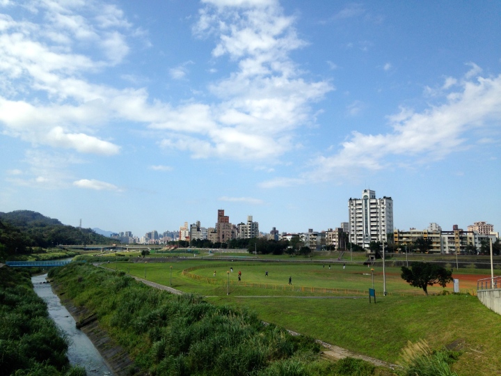 What a beautiful day! Who wants to go for a hike?!?! Ha. Ha.
